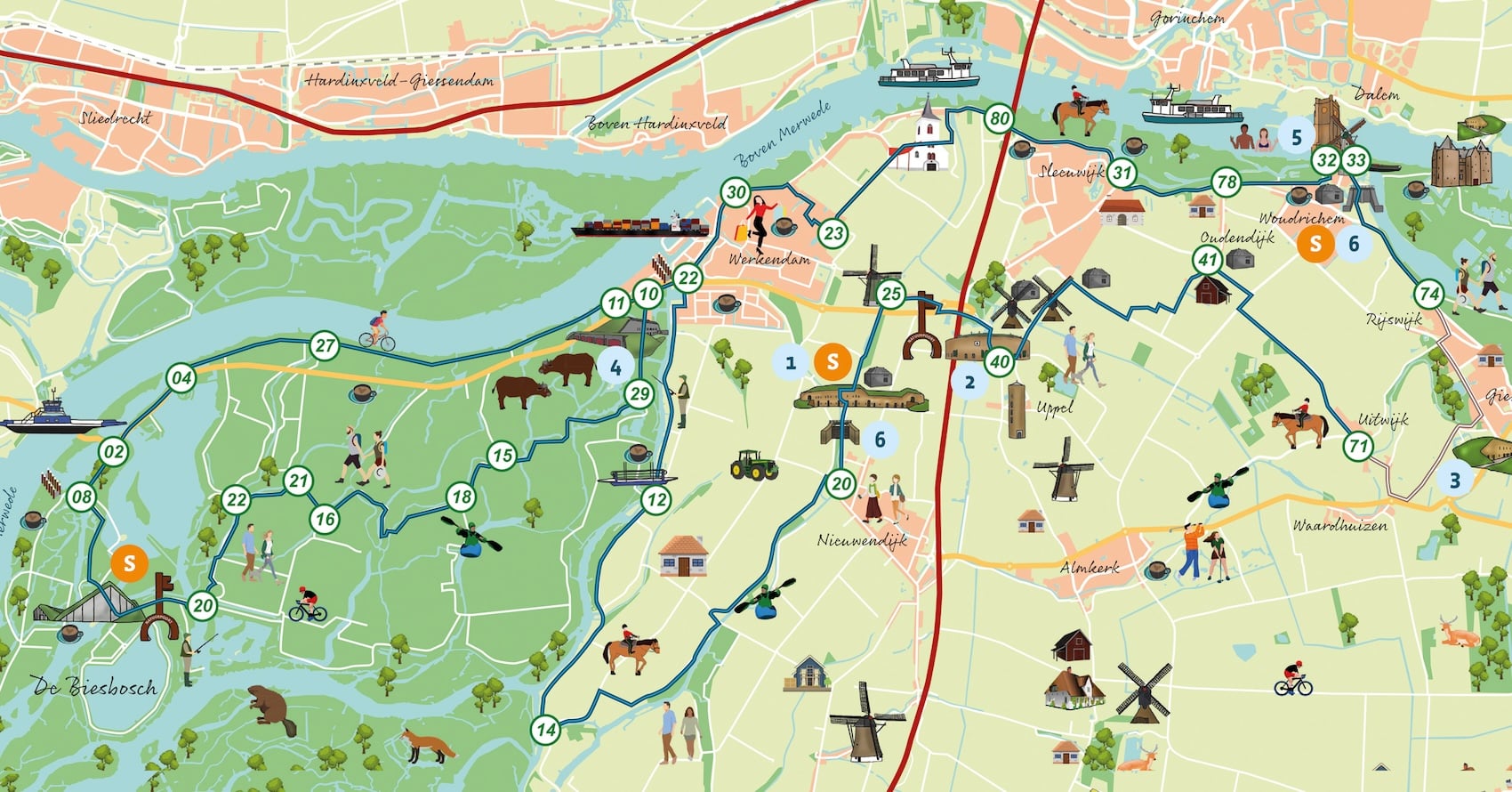
Werk aan de Bakkerskil, or Fort Bakkerskil for short, is one of four forts of the Nieuwe Hollandse Waterlinie in the Biesbosch Line. The fort served to protect the southern inundation sluice, the Papsluis. This flooded parts of the Biesbosch Line with the aim of protecting the political and economic heart of our country.
If you look at Fort Altena from above, you will see something remarkable that we owe to Napoleon. He laid a road around the fort; the current A27 could not make this turn and now runs right across the fort grounds. The oldest part of the complex is the tower fort. This is because round walls are stronger than straight walls and more resistant to shelling. Around the tower fort was a moat. The contours of this are in the pavement in front of the entrance to the tower fort. Fort Altena is the longest fort of the New Dutch Waterline, 420 meters long!
For the construction of Fort Giessen, a temporary narrow gauge railway was built to bring in building materials. This came by ship via the river Maas near Andel.
This fort is one of the few forts located outside the inundation area. This is because the fort was built on a levee. In the seemingly flat polder landscape, there are levees that are one to two meters higher than the rest of the polder. To keep the artillery at a distance from Woudrichem and Loevestein as a forward post, Fort Giessen was built on such a ridge.
This fort is now lived in, but in times of mobilization it housed 184 soldiers and 1 washerwoman. A separate room was reserved for her.
Soldiers stationed at the fort were allowed to attend cultural performances in the village of Werkendam. Members of De maatschappij tot Nut van 't Algemeen were allowed to bring three soldiers each. Love sprang up between the youngsters. Thus Pieter Post from Moddergat in Friesland married a Werkendam beauty. The daughter of this couple became a celebrity on Dutch television. Grietje Post will remain forever associated with the program Man bijt Hond.
Colloquially, this ancient fortified town is called Woerekum. It is located at a strategic point at the confluence of the Maas and Waal rivers on the border of South Holland, Gelderland and North Brabant.
The city arose on a riverbank embankment (today's Hoogstraat). Under the name UUalricheshem, the first mention of today's Woudrichem was made around the year 866. The fortified town is still largely intact. It is impossible to get lost there, with the great 16th century tower as the calibration and centerpiece of the town.
There are two inundation sluices in the Biesbosch Line. Inundation is the deliberate flooding of land. The water was deep enough that one could not walk there and too shallow to sail. The line was titled: the secret weapon of the Netherlands, but was nullified because attacking troops no longer came by land, but also by air.
You can rent a (electric) bicycle from various rental locations. Contact the relevant party for availability and bike rental.
Overview of all our routes in the Nieuwe Hollandse Waterlinie
Activity: cycling