With the wind at our backs along the forts

Prisca Visser is a photographer with a love of the outdoors and nature. For the Biesboschlinie she goes out to capture stories. She takes you through the polders, visits entrepreneurs and of course out on the water! Here she writes short pieces about it, so you can get to know the hidden gems in Altena.

The noses of my shoes get wet as I put my bike away. The blades of grass are covered with dewdrops. The gravel of the driveway gently crunches. Otherwise, it is still very quiet outside. I am out early to take a bike ride along the forts in the Biesbosch Line. My first stop is Fort Giessen. I am exuberantly greeted by a flock of Barnevelders, beautiful chickens with black-brown feathers that shine in the sun. They are curious and come to see if there is anything to get. When it appears that I am only taking my camera out of my bag, they go back to their spot in the warm morning sunlight.

I started the route at the parking lot at the Schapendam in Woudrichem. The route I am going to cycle is the Biesbosch Fortified Town Tour. These four forts are part of the Nieuwe Hollandse Waterlinie (New Dutch Waterline) which is on Unesco's World Heritage List. Behind this waterline there is a special historical story. To prevent enemies, there was a plan: flooding, or 'inundation'. By flooding low areas with water, it prevented the enemy from advancing further. The water was not high enough to sail through, but at the same time too deep to wade through. This master plan was so elaborate that there were locks and dikes everywhere to enable the inundation to take effect. Some parts of this Water Line were more vulnerable. They were higher and interesting to take. Therefore, a series of forts were built. Each fort had its own purpose to strengthen the line.

My first stop is Fort Giessen, just outside the village of Giessen. I walk around the fort. You can, because the fort is covered with a thick layer of earth and grass. There are a few outbuildings where ammunition and artillery was stored. Now that I am so high atop the fort, I see that it is surrounded by a row of bushes. After this short break, I cycle on toward Junction 71. It is far too early for lunch and I want to put in some miles.

Slowly the world wakes up and the dew clears in mists that linger over the land. The wheels of my bicycle whiz along the country roads and just after Fort Giessen I suddenly notice something. The rows of bushes along some of the meadows are exactly the same as the ones I saw around the fort! I dismount in the middle of an intersection and go to investigate.

My suspicions were soon confirmed. Here, too, are rows of hawthorn. The hawthorn has small but vicious spines and was used as an extra defense. Imagine being a soldier wading through high water and then suddenly running into a thorn bush you didn't see. Ouch. Now that I start paying attention, I see the hawthorn everywhere in the landscape. As hedges, but also here and there as mature shrubs.

I cycle from node 71 to 41 and on to 40 at Fort Altena. This part of the route I find really beautiful. Green meadows as far as I can see. In the distance I can see the church tower of Woudrichem. After a few shortcuts I turn off onto a bicycle path. The corn is high on both sides. The left path soon becomes a paved path. There are puddles from the rain that has fallen, but it is fine for cycling. I cycle between the bunkers on the Kraaiveld estate. Gray massive blocks in fields full of wild chicory. The small blue flower heads stand out brightly against the green of the grass. In times of World War II, people made coffee from ground root of wild chicory. Now they mostly brighten up roadsides. The trail crosses a wildlife grid. The only animals I encounter are the cows of the Kraaiveld estate. They have eyes only for the fresh grass and I can pass them without problems.

Carefully cross the busy road and then the path continues between two mills. These are old seesaw mills that were intended for pumping the polders. The Zandwijkse and Uitwijkse mill are not far apart for nothing. This was to prevent the mills from standing in each other's wind. Again, the route is still easy to follow. I notice that it's nice not to have to constantly grab my phone for the route but to just follow signs. That gives much more peace of mind!

Before I know it I am at Fort Altena, my next stop. Unfortunately, the restaurant is closed but the restrooms are open. Very nice for all the cyclists and hikers passing by. This fort was originally built to defend the Uppelsedijk and the route between Gorinchem and Breda. It has had several functions over the years, but in the end there was never a battle. The site is much larger than Fort Giessen. I find it interesting to walk around a place with so much history. With your eyes half squeezed shut, it's not hard to imagine how things used to be. By now it is time for a sandwich and I walk toward the sloping lawn in front of the fort. The tall trees offer shade against the sun that is getting brighter. Along the water's edge is a beautiful bench. Ideal for taking a break.

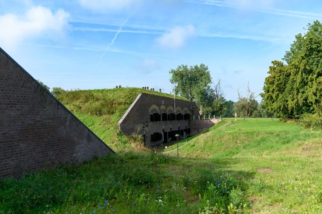
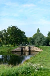
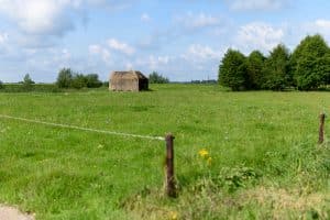
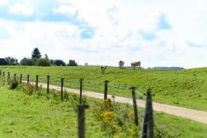
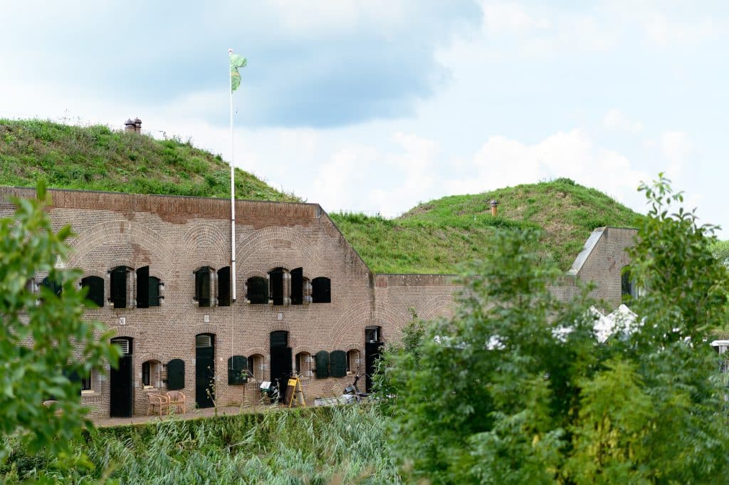
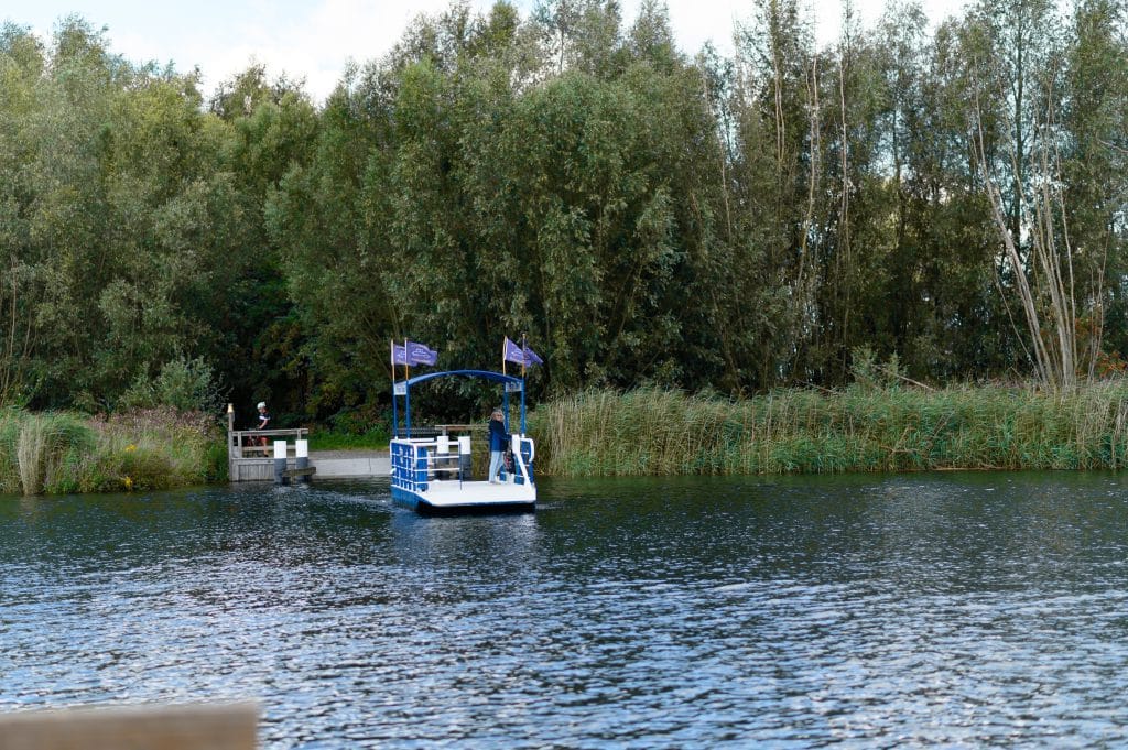
I had made some notes at home with what I wanted to see. The Papsluis is thickly underlined at the top. But before I get there, the route goes past Fort Bakkerskil. This fort was erected to defend the Papsluis and it is quite close to Fort Altena.

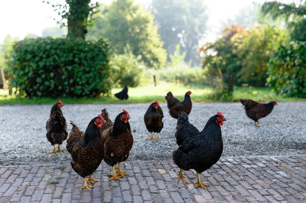
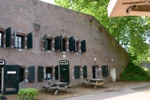
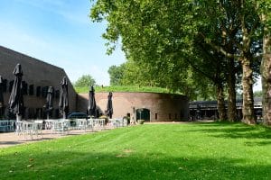
The sky is suddenly quite involved and just as I step under the awning in the courtyard, it begins to drizzle. What timing! To my surprise, a small café does open here. The temptation is too great and I fall for a delicious cherry crumble cake with coffee. There are also fresh smoothies available for those who want a more healthier option. Before cycling on, I chat with the manager. "We're open as long as it's dry," he says. "With rain, there's no one there and there's no point."

The Papsluis is a few hundred meters behind Fort Bakkerskil and the bicycle route runs along it. It is a fan lock which means the lock gates can be opened to either side. This lock was built especially for the inundation. It was used to quickly flood the polders. This was done by placing bulkheads in the lock to hold back the water. In the landscape next to the lock is a canopy with large wooden sleepers under it. This is the so-called "bulkhead beam house. Here lie the beams that can be placed in the slots of the lock.

After looking around and reading the information signs, I cycle on. Now things get exciting, because I deviate from the route. 70 kilometers is a bit too much for me and I have shortened it to 40 kilometers. I cut the lower point through the polder a bit and head over country roads towards the ferry. It is open terrain so the wind has free rein. It is noticeable too. Fortunately, this is the only stretch I have head wind. In the fields, the crops alternate quickly. I see red cabbage, pumpkins and sugar beet passing by. Wonderful that many field edges are sown with wild flowers. Good for the insects, but it's also nice to see!

When I arrive by bike at the ferry across the Steurgat, it is just leaving. That doesn't matter, because on days like this it shuttles back and forth all the time. There is a large, brass bell that you can ring if you want to summon the ferry. I haven't tried it, but can imagine the sound will carry far here. The Steurgat is a tidal creek that runs through the Biesbosch. This little ferry is the only shore connection so I board it, bike and all. The vessel is small and rectangular. A canopy should protect from the worst of the rain when it falls. Only a trellis separates you from the flowing water. Humming softly, the engine pulls us along the cable. It is a cable ferry. There is a cable attached to both banks that lies on the bottom. As the ferry sails, it pulls itself along this cable. An incredibly fun experience, especially when you consider that it is run entirely by volunteers. Far too soon for my liking I have solid ground under my feet again. If you also want to cycle this route, keep in mind that a crossing costs €1,- and that you have to pay in cash.

I continue my modified route and stick to nodes 29 and 10. Again, it is well signposted everywhere! On the other side of the road I pass Fort Steurgat. Three guesses why this fort was built. To protect the Steurgat! It is not accessible, houses have been built in it. I leave the fort behind and steer my iron steed through Werkendam.

Now all that remains is the return route towards Woudrichem. Straight ahead along the dike, alternating with other traffic and only bicycle path. The sun is already past its highest point and the shadows grow longer when I arrive at the starting point. It was a wonderful route to ride and definitely recommended. There is much to see along the way and it is instructive to learn more about the Nieuwe Hollandse Waterlinie and how it worked.

Would you like to bike the same route as Prisca? Here is a list of the locations she visited:

- Fort Giessen
- Fort Altena. The brasserie is open Friday through Sunday from 10:30 a.m. to 5 p.m.
- Fort Bakkerskil
- The Papsluis
- Pontje Steur
- Fort Steurgat
- New Dutch Waterline

Prefer the entire route? Download the Biesbosch Fortified Town Tour here. Text and photos: www.priscavisser.nl. Here you will find all of Prisca's blogs.

linkedin facebook pinterest youtube rss twitter instagram facebook-blank rss-blank linkedin-blank pinterest youtube twitter instagram